
| This Afternoon  Partly Sunny |
Tuesday Chance Rain Showers |
Wednesday Rain Showers |
Christmas Day  Rain And Snow Showers Likely |
Friday Snow Showers |
Saturday Chance Snow Showers |
Sunday Mostly Sunny |
|
| High: 62 °F | High: 51 °F | High: 46 °F | High: 44 °F | High: 42 °F | High: 40 °F | High: 41 °F | |
Tonight Mostly Cloudy |
Tuesday Night  Rain Showers |
Wednesday Night  Rain Showers then Rain And Snow Showers Likely |
Thursday Night  Snow Showers |
Friday Night  Snow Showers Likely |
Saturday Night  Slight Chance Snow Showers |
Sunday Night Slight Chance Snow Showers |
|
| Low: 33 °F | Low: 36 °F | Low: 30 °F | Low: 27 °F | Low: 20 °F | Low: 20 °F | Low: 22 °F | |
Ben's WX Summary
- Updated: Monday @ 10:37am
Still looking at a very soggy holiday forecast with rain and snow likely through Christmas, turning colder with lowering snow levels by the weekend. Initially, we'll be dealing with an atmospheric river; as a result, the snow level will remain quite high through the main duration of this first storm through Christmas Eve. The second, colder storm should arrive later Christmas Day into the weekend, driving the snow level as low as 5,000 feet. High pressure will weaken and shift east today, allowing the onshore flow to strengthen ahead of our approaching storm. Variable high cloudiness and breezy out there today as highs reach the upper 50s to lower 60s, west winds gusting 15-25 mph at times. Clouds and winds will increase tonight through tomorrow with a few showers possible during the afternoon. Cooler and windy with highs in the lower 50s, south-southwest winds gusting to near 30 mph at times. The bulk of our first storm will arrive Tuesday night and Wednesday/Christmas Eve, bringing rain, heavy at times, with isolated thunderstorms. Highs will drop into the 40s with south to southwest winds gusting in excess of 40 mph. The snow level will also hover around 9,000 feet. As the plume of tropical moisture digs south, steady rain will turn showery on Thursday/Christmas Day. Snow levels will progressively lower, falling to near 8,000 feet Wednesday night to around 7,000 feet on Christmas Day. As the second, colder storm arrives later Christmas into the weekend, the snow level will continue to drop, falling from around 6,000 feet on Friday to 5,000 feet on Saturday. Total rainfall amounts of 2-4 inches are expected across all of Southern California, including the mountains, with locally 4-8 inches of rain possible in a few areas, especially western locations and lower coastal slopes, i.e. Rim Communities, Forest Falls, AO, etc. Models still diverge on snowfall amounts through next weekend, which all depends on snow levels, exact track, and the showery nature of the second storm, but at least several inches of snow are likely above 5,000 feet through the weekend. Residents should be prepared for potential flooding & flash flooding with possible rock, debris, and mud slides, especially below recent burn areas, and heed all evacuation warnings or orders. If traveling into the mountains, be prepared for winter weather driving conditions throughout the holidays, pack extra food, water, warm clothing, and always carry chains!
| Current Conditions | Wind | Rain | Outlook | ||||||||||||||||||||||||||||||||||||
|
|
|
|
||||||||||||||||||||||||||||||||||||
| Humidity & Barometer | Snowfall | Moon | |||||||||||||||||||||||||||||||||||||
|
|
|
|||||||||||||||||||||||||||||||||||||
| UV Index | Solar Radiation | ||||||||||||||||||||||||||||||||||||||
|
|
||||||||||||||||||||||||||||||||||||||


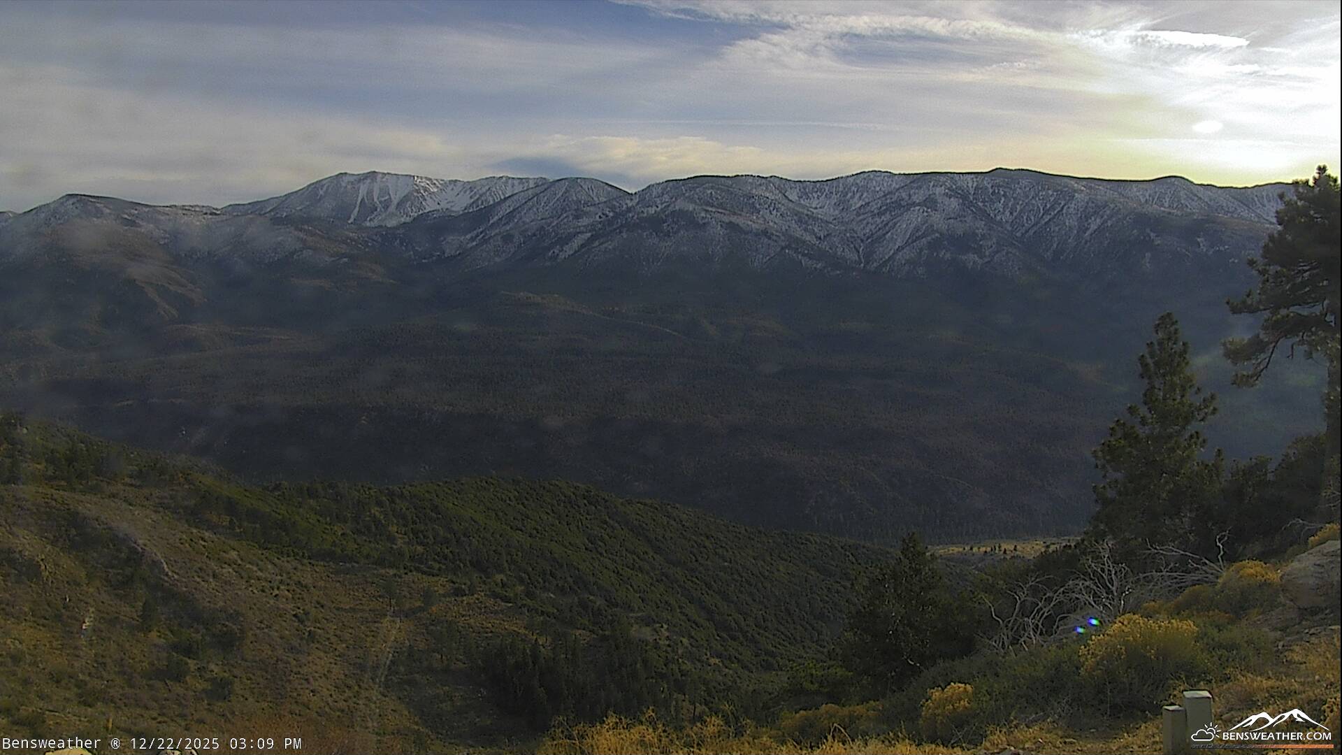
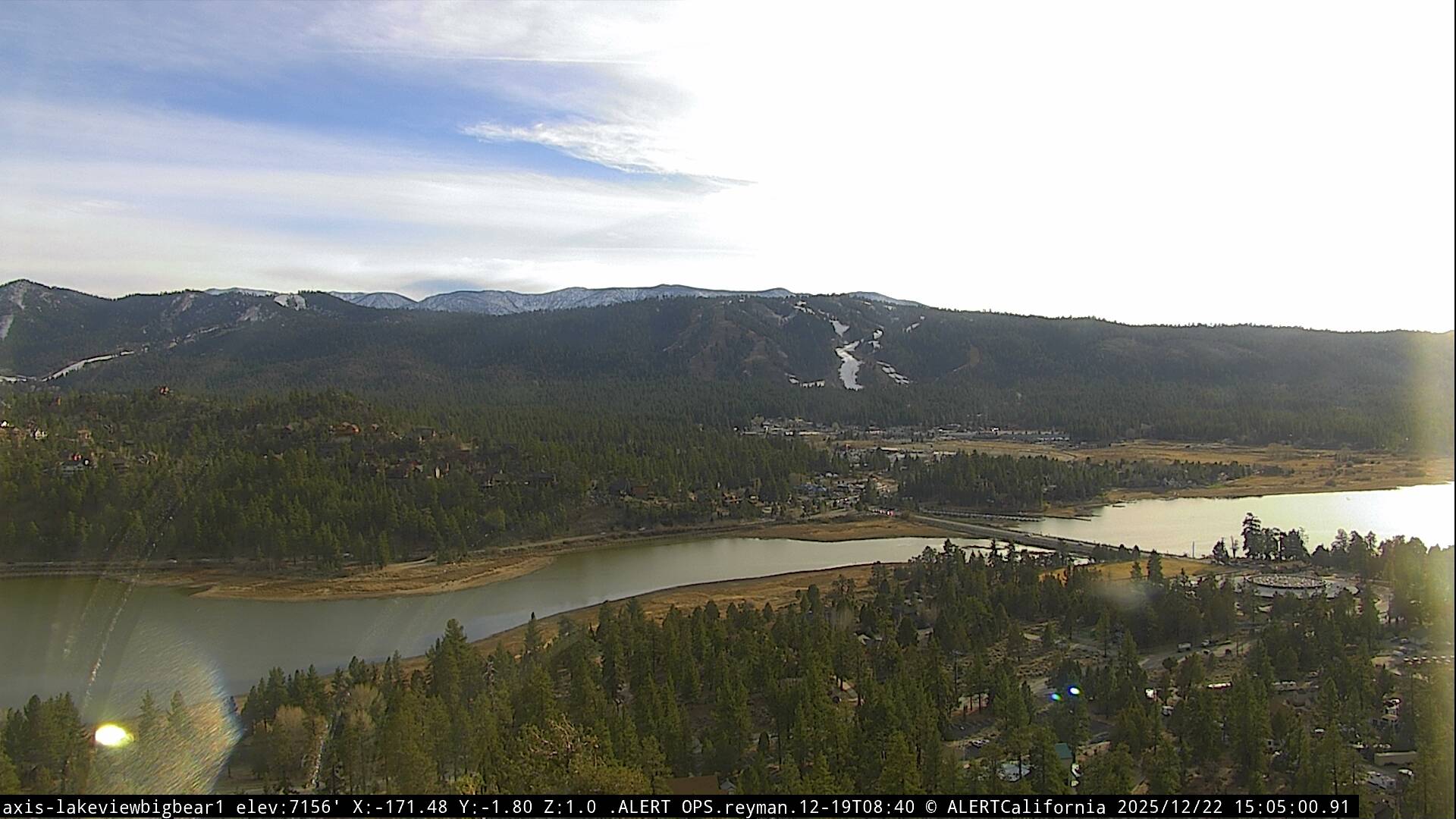
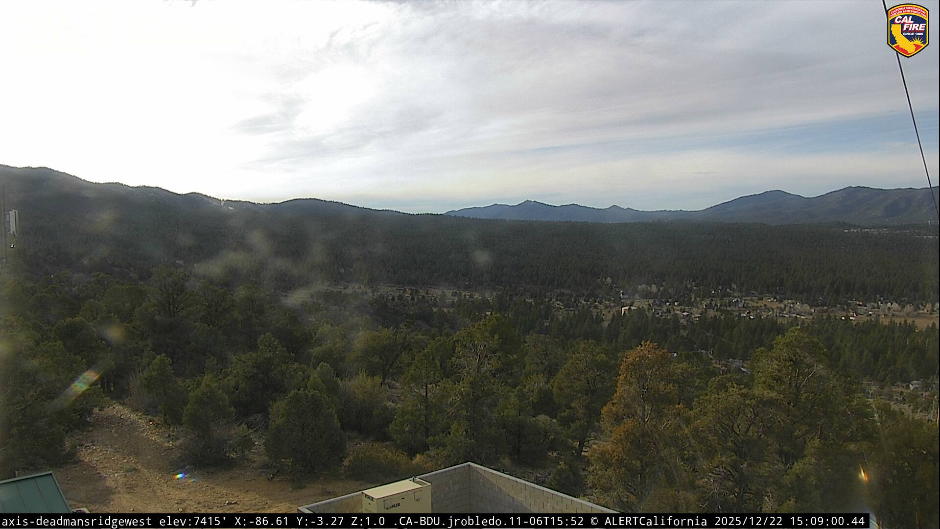
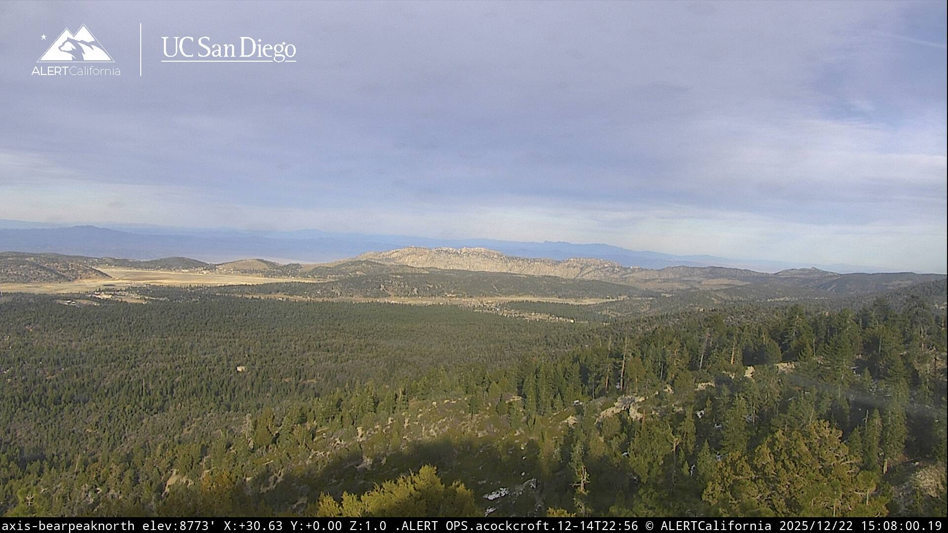
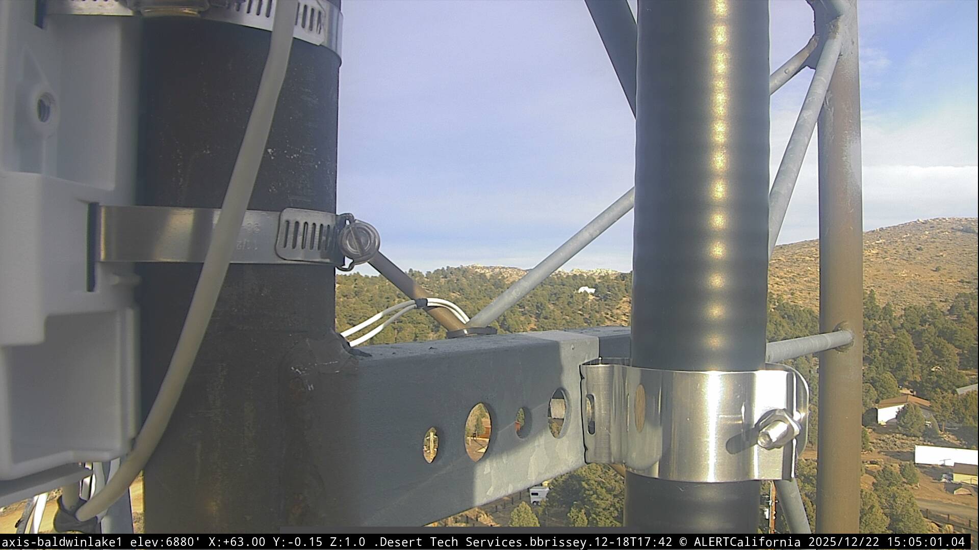
Live Cams