
Wednesday Slight Chance Showers And T-Storms |
Thursday Sunny |
Friday Sunny |
Saturday Sunny |
Sunday Sunny |
Monday Sunny |
Tuesday Sunny |
|
| High: 79 °F | High: 80 °F | High: 78 °F | High: 73 °F | High: 70 °F | High: 72 °F | High: 74 °F | |
Tonight Chance Showers And T-Storms |
Wednesday Night  Mostly Clear |
Thursday Night  Clear |
Friday Night Clear |
Saturday Night Clear |
Sunday Night Clear |
Monday Night Clear |
|
| Low: 50 °F | Low: 48 °F | Low: 43 °F | Low: 43 °F | Low: 38 °F | Low: 38 °F | Low: 39 °F | |
Ben's WX Summary
- Updated: Tuesday @ 03:16pm
High pressure extending from Western Texas through Northern Mexico will bring warmer temperatures over the next couple of days and increased humidity. The flow around this ridge will draw enough mid & upper-level moisture north for a chance of showers and thunderstorms through Wednesday, drying on Thursday. A trough will return to the West Coast later in the week for cooler temperatures and gusty west winds through the weekend. We're looking at a few showers and thunderstorms already developing around the area this afternoon. Expect partly to mostly cloudy skies through this evening with isolated showers and thunderstorms possible. Slightly deeper moisture will arrive tonight into Wednesday with better instability as a weak disturbance traverses the region. This should help destabilize the atmosphere enough for a additional showers or thunderstorms. Daytime highs will remain in the 80s through Thursday, as overnight lows cool to the 40s and 50s. A drier southwest flow will develop on Thursday, pushing moisture east of us with a cooling trend as temperatures return to normal by the weekend. Long range looks dry at this time next week with a gradual warm-up as we approach the Independence holiday. Forecast models are mixed headed into July, but leaning towards above average rainfall, a good sign monsoon moisture is likely to return!
| Current Conditions | Wind | Rain | Outlook | ||||||||||||||||||||||||||||||||||||
|
|
|
|
||||||||||||||||||||||||||||||||||||
| Humidity & Barometer | Snowfall | Moon | |||||||||||||||||||||||||||||||||||||
|
|
|
|||||||||||||||||||||||||||||||||||||
| UV Index | Solar Radiation | ||||||||||||||||||||||||||||||||||||||
|
|
||||||||||||||||||||||||||||||||||||||


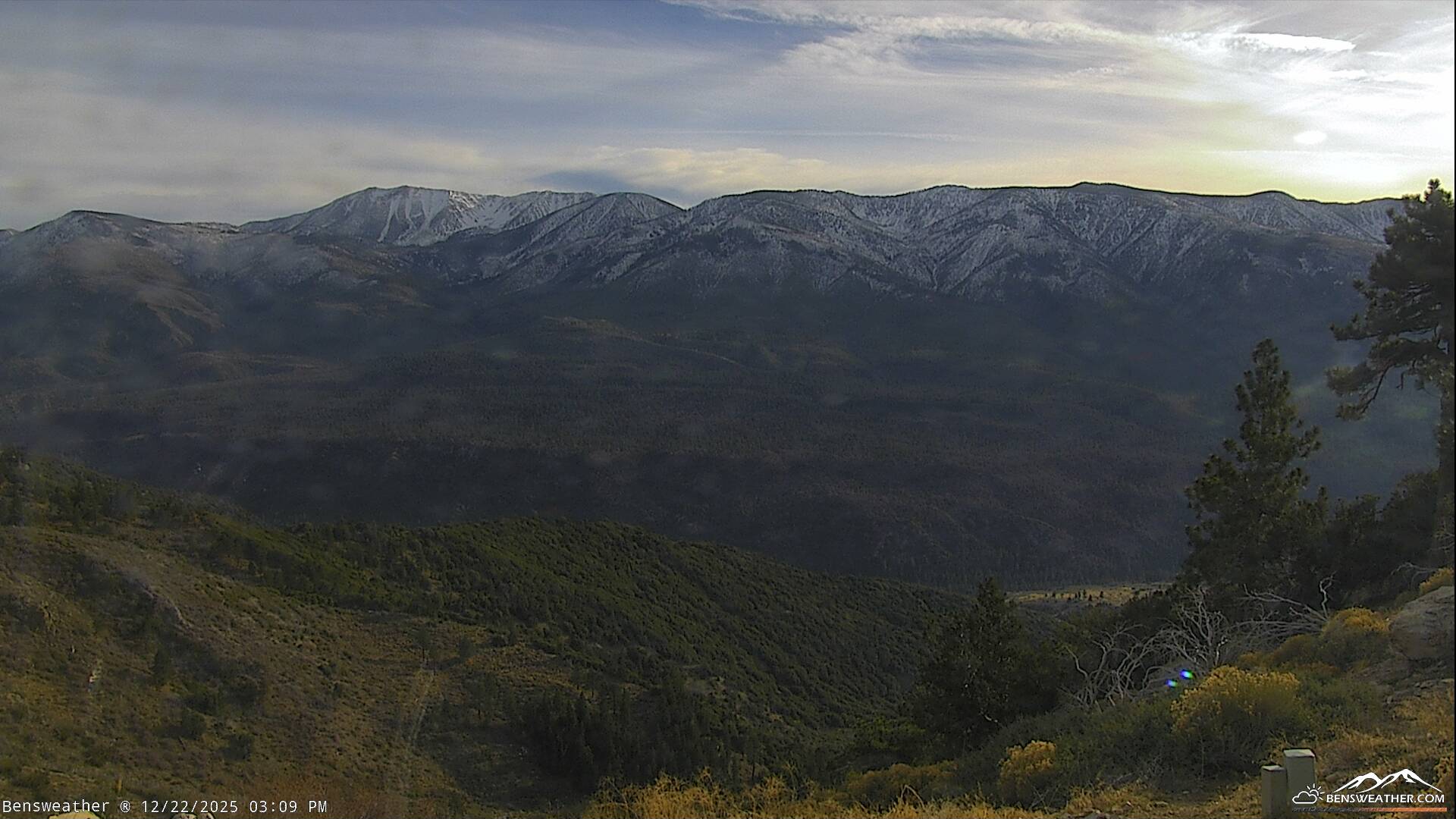
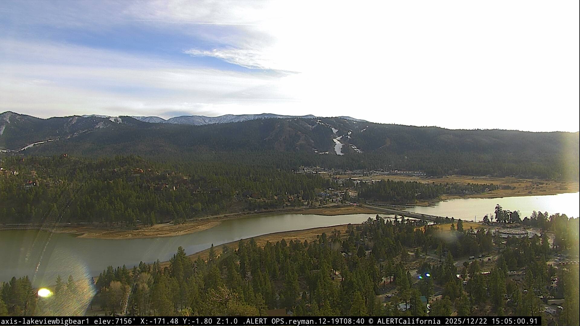
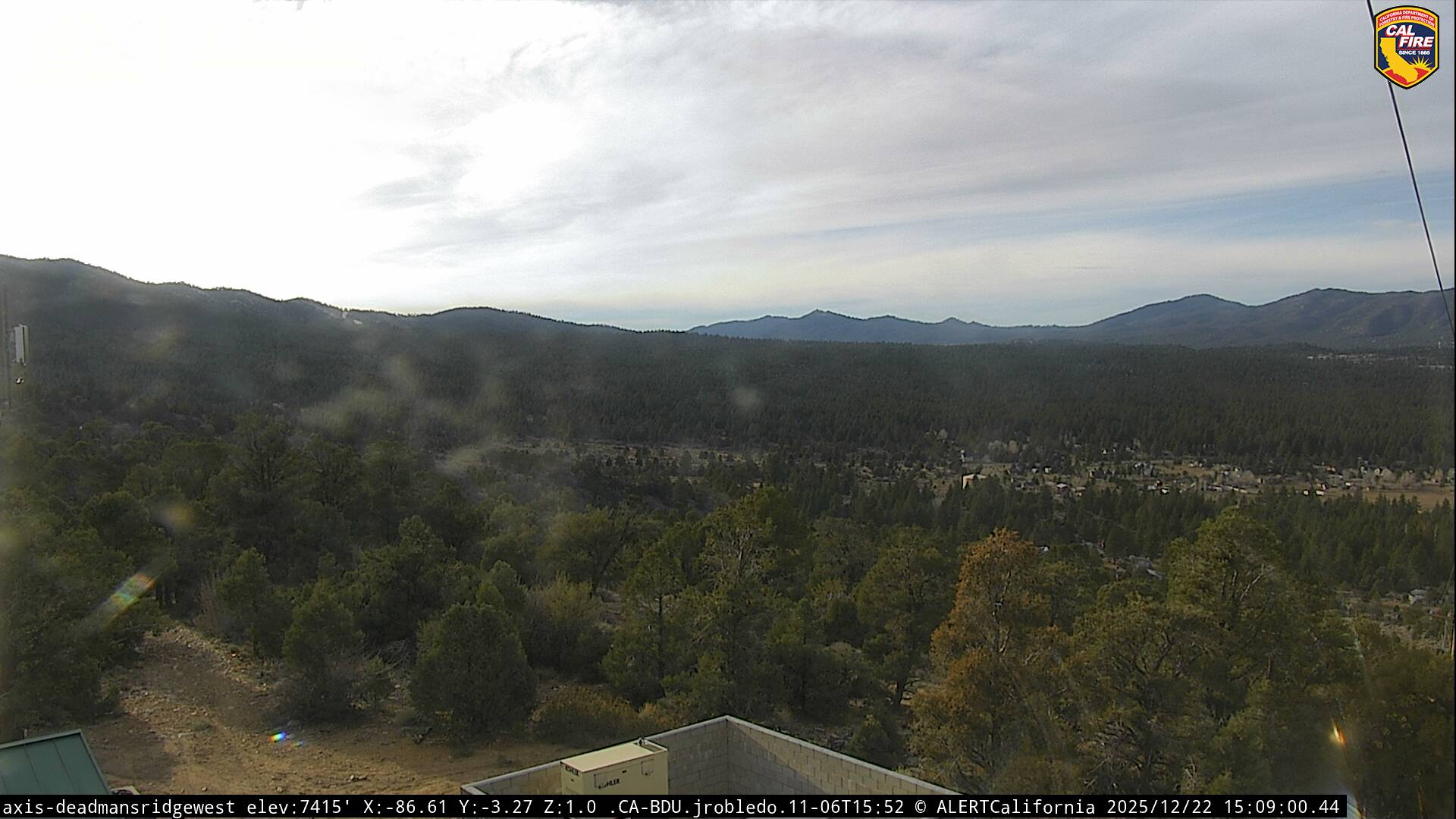
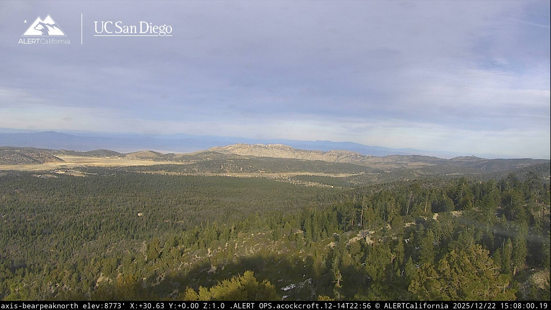
Live Cams